Production:
Studio:
Art Type:
Medium:
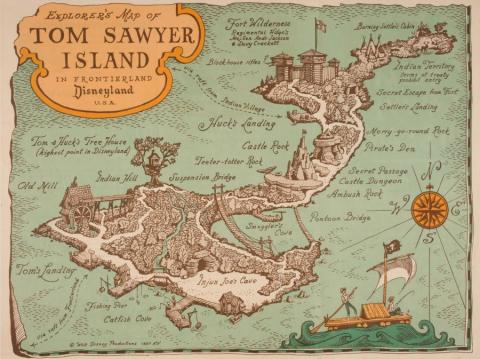
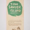
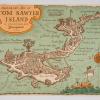
A second printing of the brochure map produced for the Tom Sawyer Island attraction at the Disneyland Resort. Featuring an illustrated depiction of the geographical map of the island, the guide was originally produced in 1957 and was provided to guests who visited Disneyland. It gave readers information about a variety of landmarks to explore on the small island within the park. Tom Sawyer and Huck's Treehouse was still being advertised as the "highest land point in Disneyland" at the time - as this brochure predates the completion of the Matterhorn (which opened in 1959). The guide opens up to reveal a map of the area, titled "Explorer's Map of Tom Sawyer Island in Frontierland, Disneyland, USA." Measuring 9"x4" when folded, the guide is in very good condition with light wear and discoloration from age and handling.
